Radar Pemantauan Deformasi Permukaan Tanah untuk Pengesanan Tanah Runtuh (GBSAR)
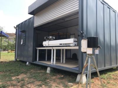
Hazards due to ground movements and instability in man-made structures can lead to considerable human and economic losses. GBSAR developed by iRadar is aimed to solve the challenges by providing a ground-based, highly compact radar for monitoring of earth terrain and man-made structural movements.
GBSAR is all weather, highly portable, easy to deploy, and can be mounted on a variety of platforms such as tripods, rooftops, and vehicles, thus allowing fast and flexible deployment in case of emergency. This radar system is very suitable for disaster monitoring, risk assessment as well as for the establishment of early warning framework for hazard management.
The instrument is developed with the aim to establish an affordable monitoring system. It can be applied in various areas to monitor the surface deformation of earth environments (landslides, terrain subsidence, falling rocks, glaciers, avalanches, volcanoes, etc.) as well as man-made structures (bridges, buildings, towers, dams etc).
There are no reviews at the moment


Radar Pemantauan Deformasi Permukaan Tanah untuk Pengesanan Tanah Runtuh (GBSAR)